
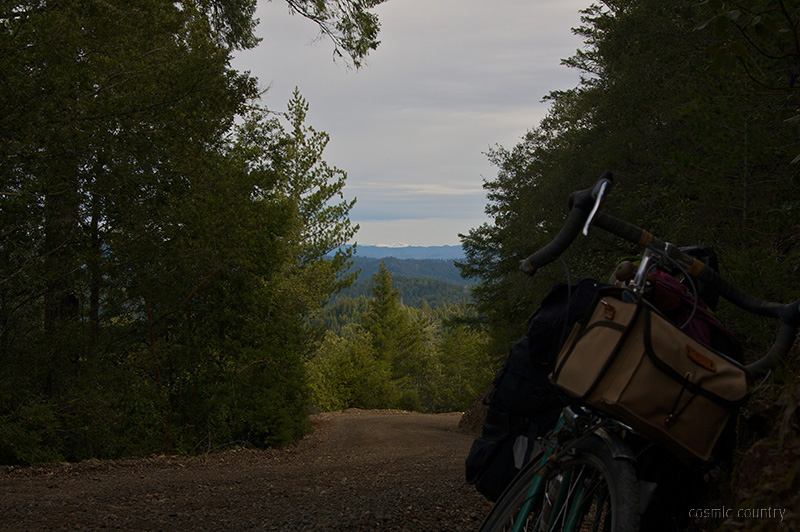
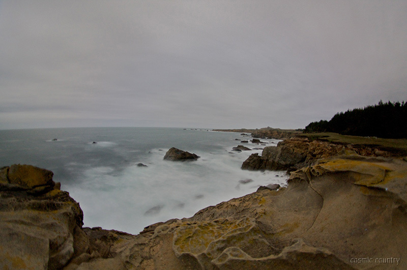
fish rock became wonderfully steep and twisted, with vistas reaching ever farther ~ this time to the snow caps up north

longer lens, mountain view
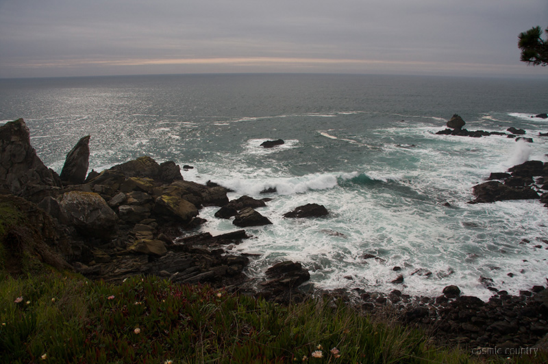
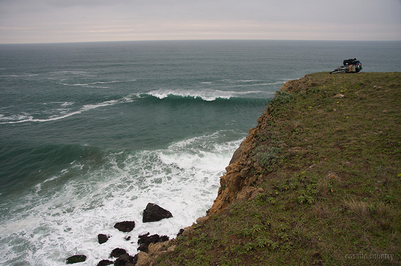
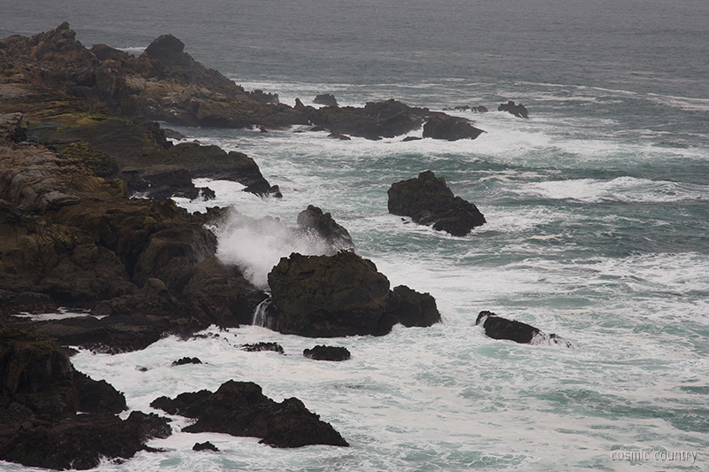
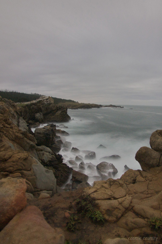
it was wonderful to drop out onto the ocean after another round of steep climbing
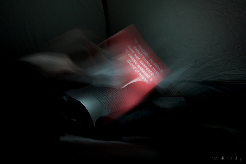
atlantean
the rain set in.
moonlit fluidity


2 comments:
hi erik, you posted a comment on my blog awhile back (post-car adventuring). we love your site and your photos. now that we live in the east bay as well your trips in the hills are giving us some great ideas for rides and overnights.
i have a question about your cloverdale ride in particular. i don't think there is a krebs map for this area, but it looks phenomenal for riding. i'm wondering if you used a particular map, or just a california atlas to plot your way.
thanks, justin
hi justin,
I used northern california krebs along coastal sections, but yes it does stop a few miles inland. Your best bet is a combination of online mapping and an atlas (honestly, google did a fine job, though I normally would try to print a USGS given more time). The route recommendation (fish rock rd.) came from Jay at RBW, in this instance, but there look to be several roads of similar constitution. I'm glad you're enjoying the photos, keep the adventure going!
Cheers.
Post a Comment