1.12.2015

out (4 | 4)

IMG_7240
recovery

IMG_7243
frost

IMG_7247

IMG_7248

IMG_7249

IMG_7254

IMG_7256

IMG_7262
ice

IMG_7267

IMG_7269
ribbons to the land of burritos aka gilroy. amtrak, caltrain, mst or local transit (line 68 or 168) in gilroy gets you back north.

1.10.2015

soda watershed (3 | 4)

IMG_7069
morning

IMG_7072
one of the lines from the night before

IMG_7075

IMG_7080
dropping

IMG_7081

IMG_7089

IMG_7099

IMG_7092

IMG_7101

IMG_7107
was cold

IMG_7110

IMG_7120
turned left and rode to the top of the watershed

IMG_7131

IMG_7134
trails

IMG_7141
not trails

IMG_7143
cow trails

IMG_7147

IMG_7152

IMG_7153

IMG_7173
climbed to the top

IMG_7181

IMG_7209

IMG_7220

IMG_7231

IMG_7235

IMG_7236

1.07.2015

hamilton > south ranges (2 | 4)

IMG_7025
morning

IMG_7030
spring water

IMG_7035
ice

IMG_7036
the next shoulder to be climbed that morning

IMG_7044
alex met us on top of hamilton, patrick is tasting his glove somewhere south of there

IMG_7046
sun

IMG_7047

IMG_7050
self-portrait

IMG_7054

IMG_7057
logjammin

IMG_7059
american apparel grade nightklunk photog

IMG_7064
this kept up until midnight, a solid 7 hours of full-moon riding

1.04.2015

calaveras > hamilton > coe traverse, north-south (1 | 4)

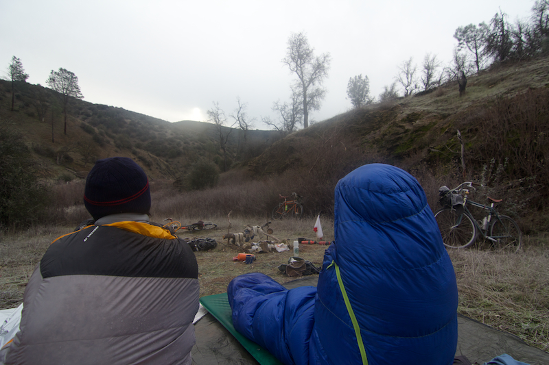
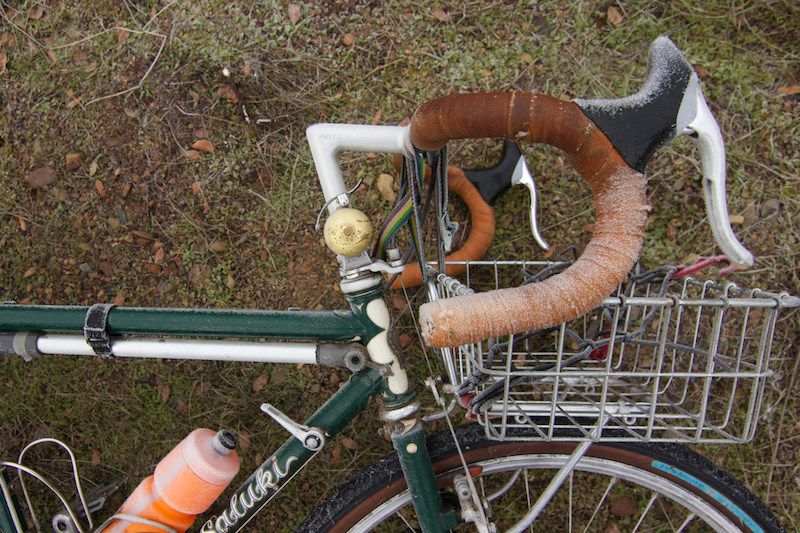
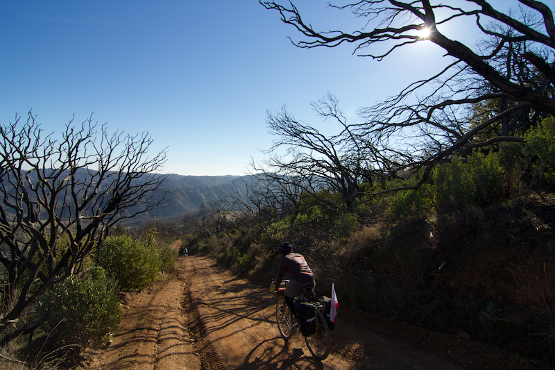
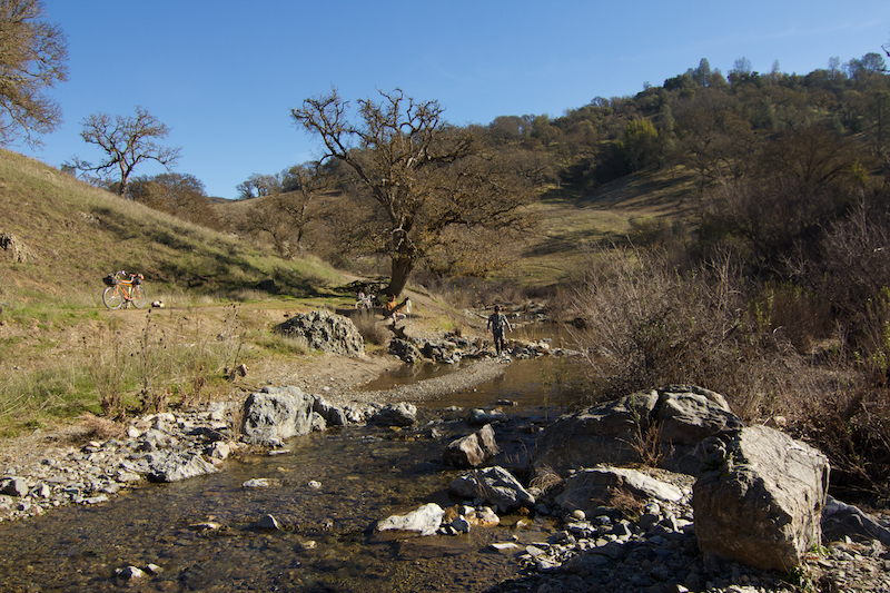
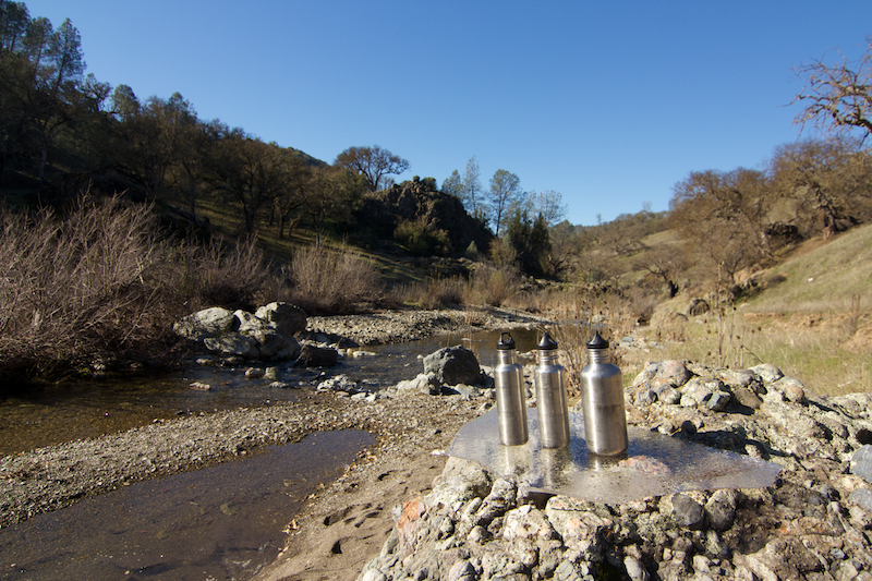
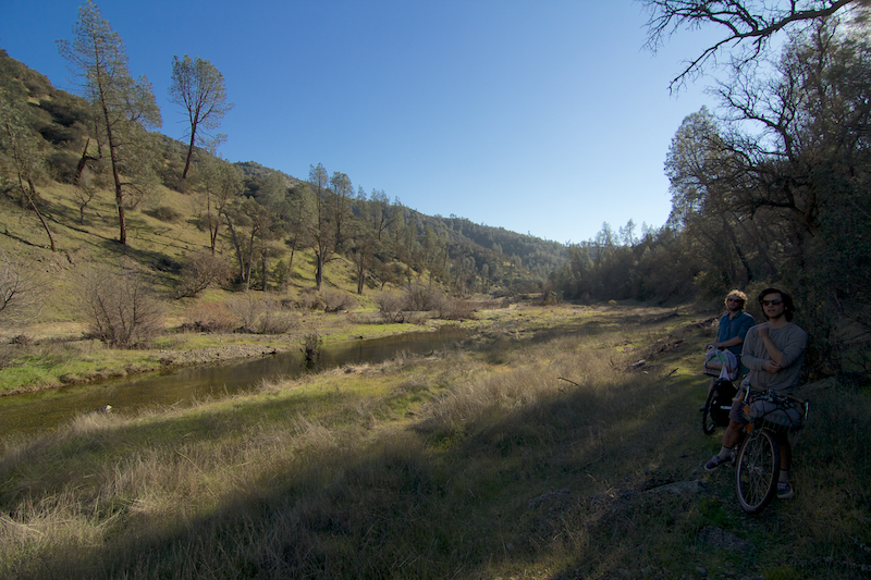
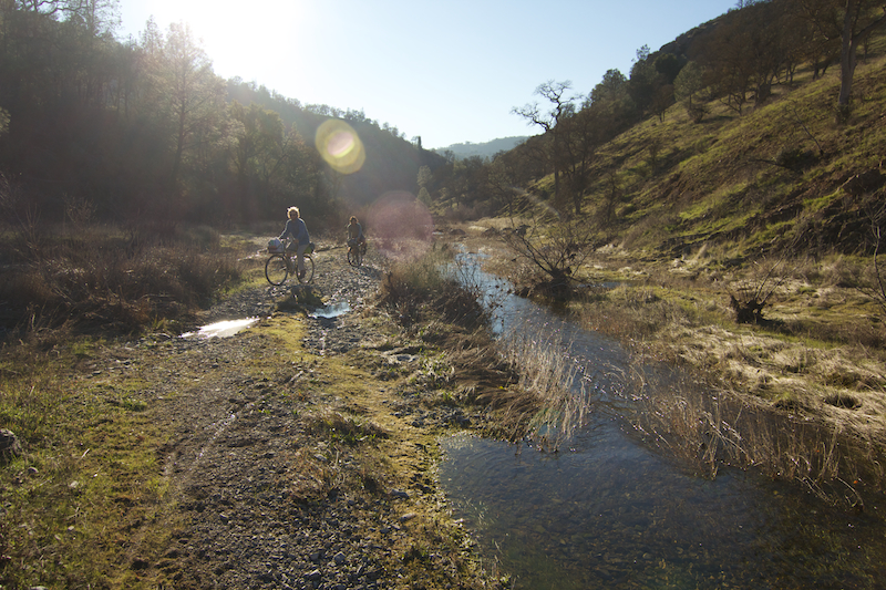
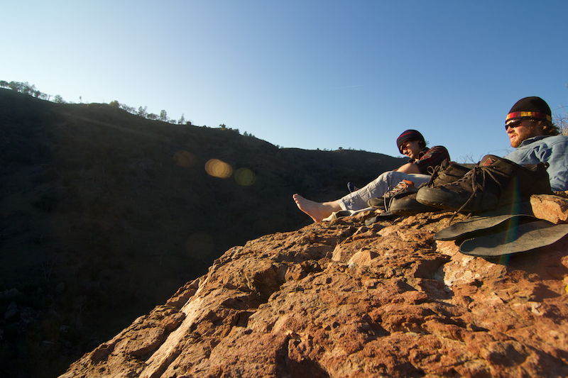
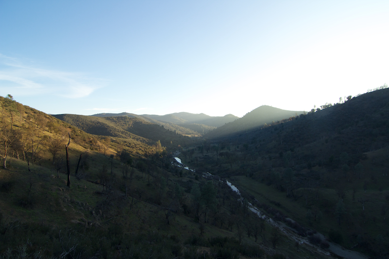
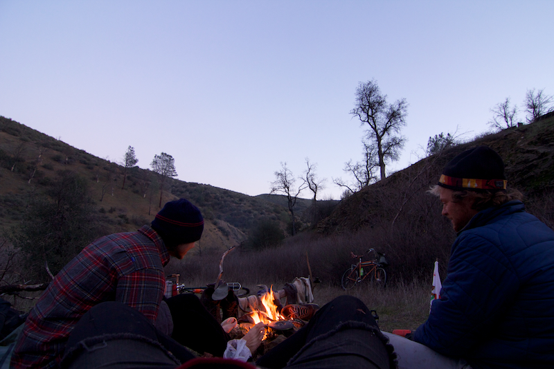
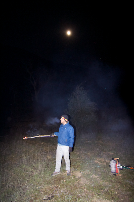
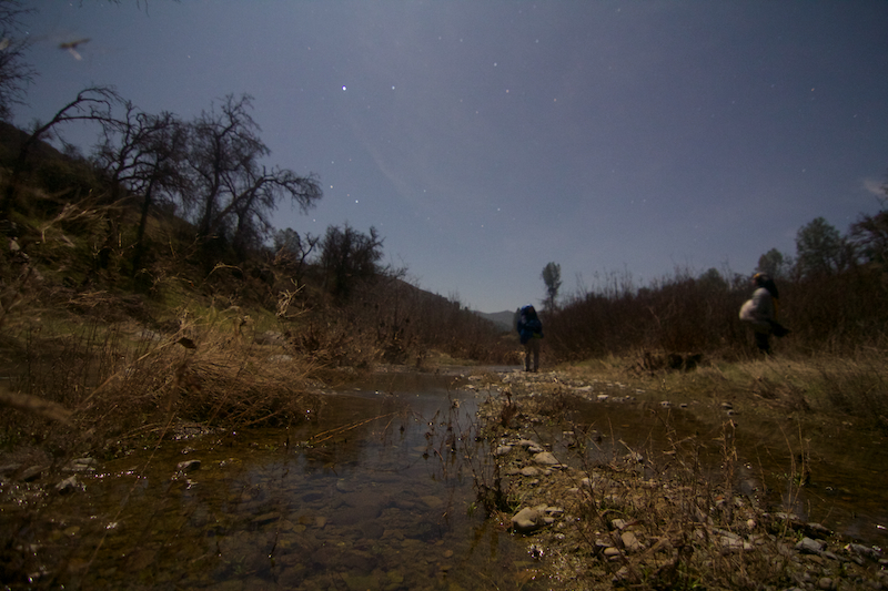
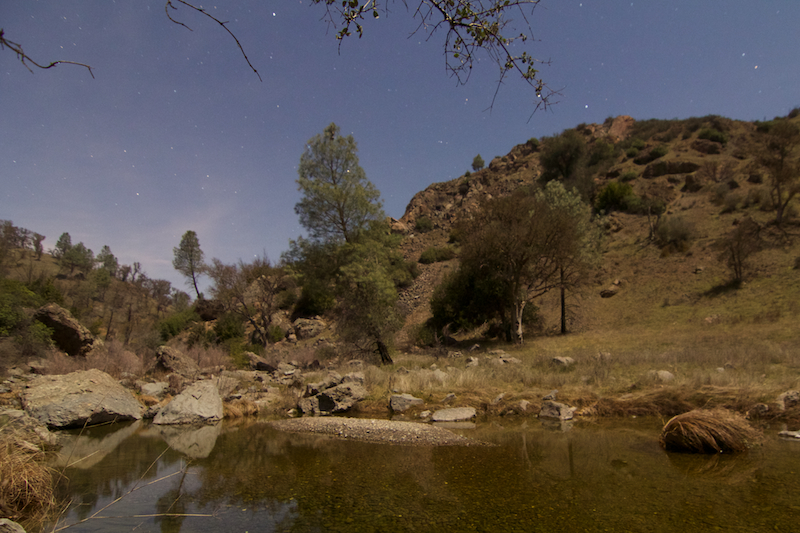
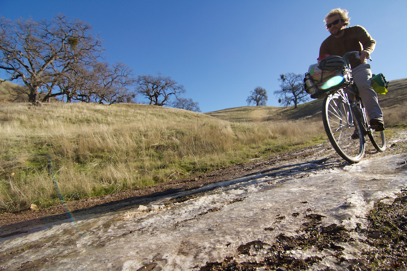
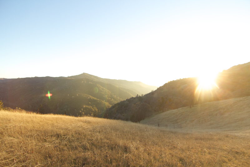
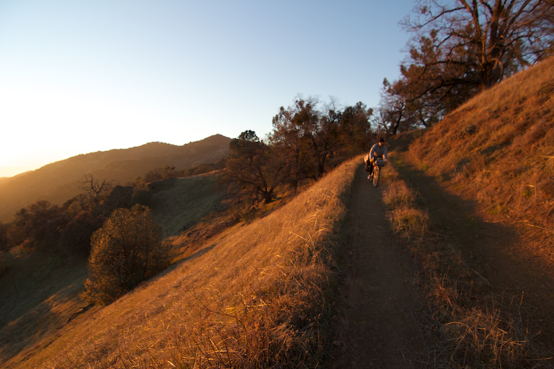
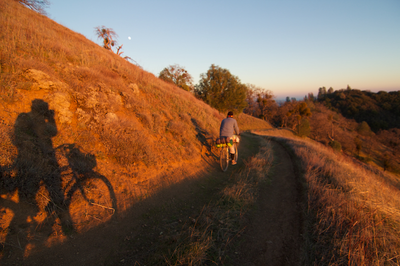
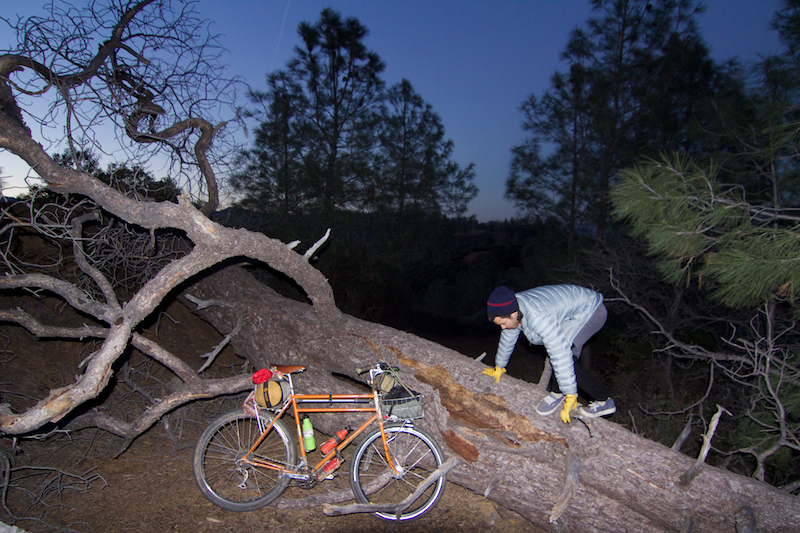
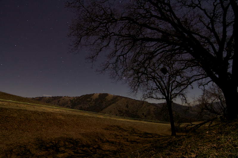
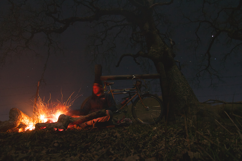
finally opened it up. i've tossed this one around for years, just got the right window and conditions. water, mainly. a full moon helps on routes of see-not-seen nature...

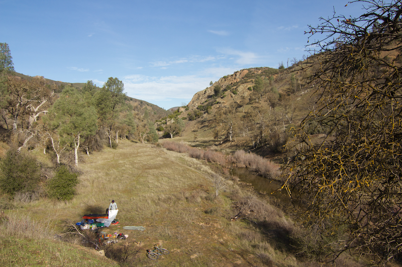
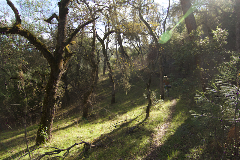
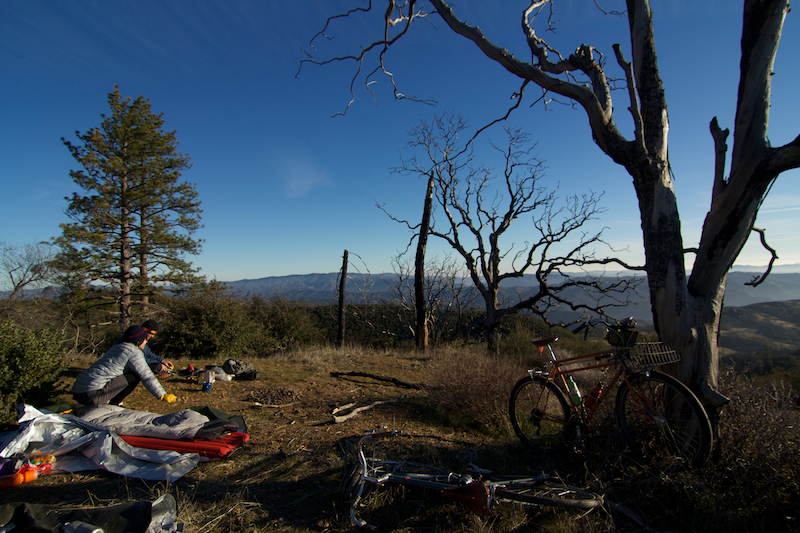
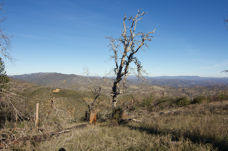
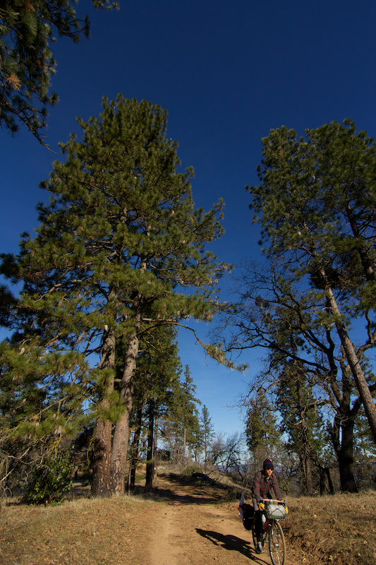
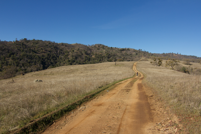
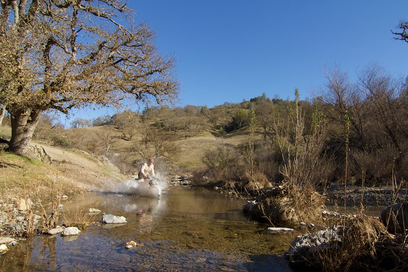
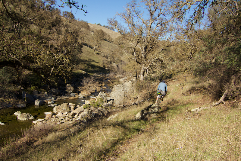
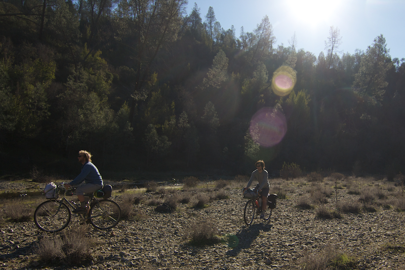
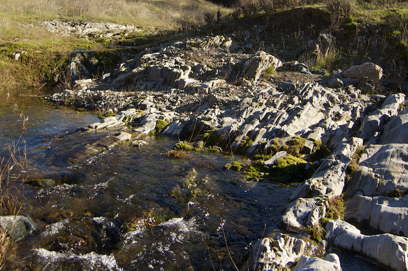
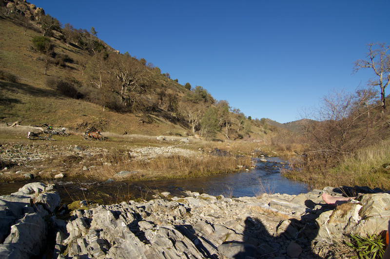
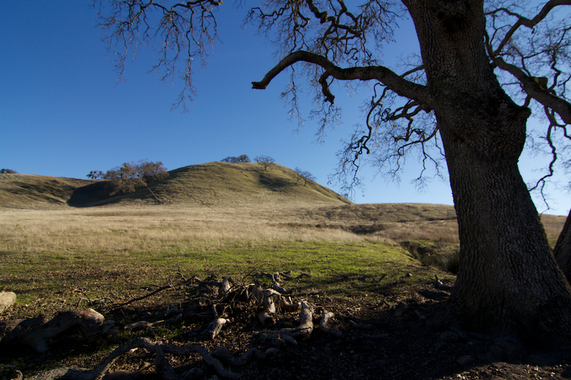
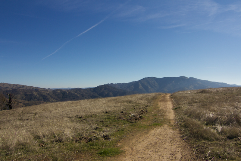
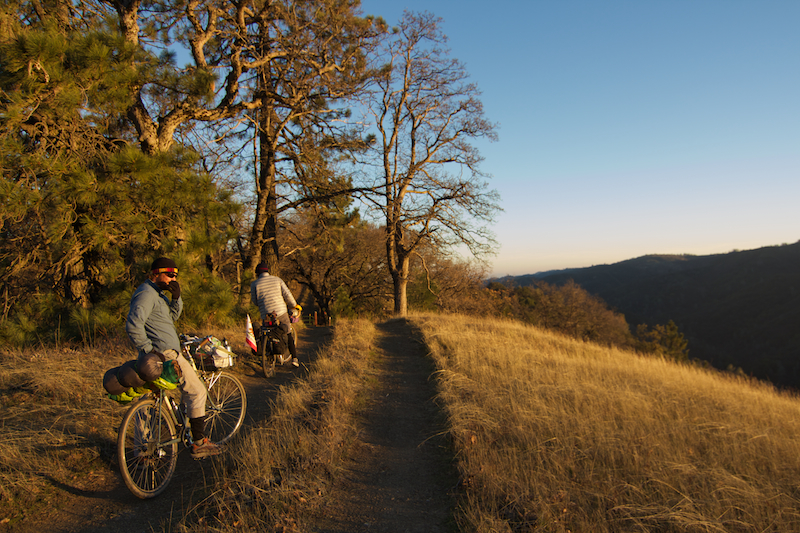
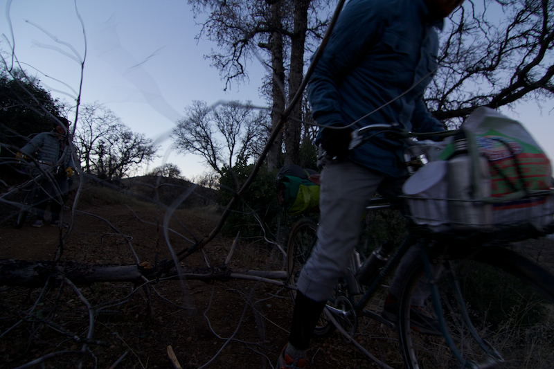
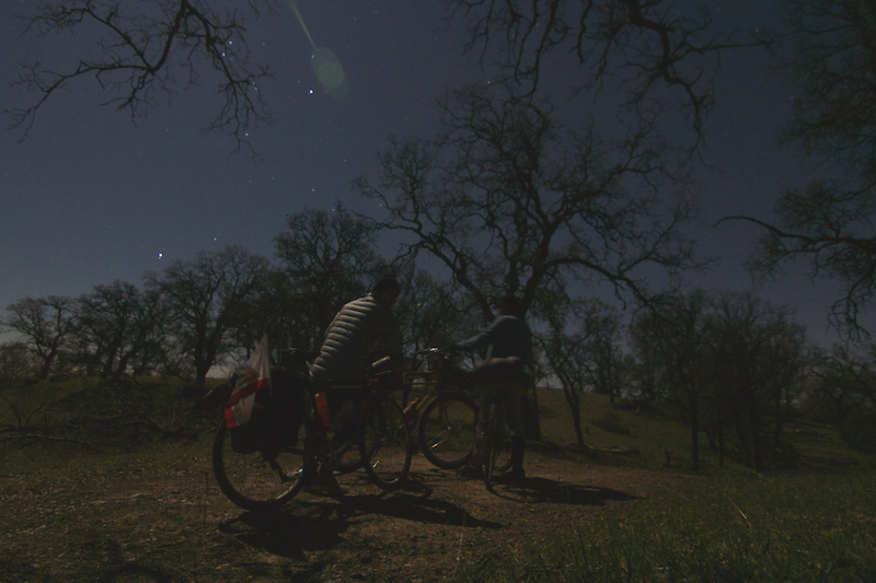
leave dirt from old calaveras road and never return until you hit gilroy, spending much of your time above 3000 feet. we had an extra day and used it to go deep off the main line into hinterlands. getting ahead of myself.

IMG_7010
up the hill from the fremont bart

IMG_7016
2 of several dozen gates in

IMG_7017
western doom

IMG_7019
lines

IMG_7024
patrick stokes